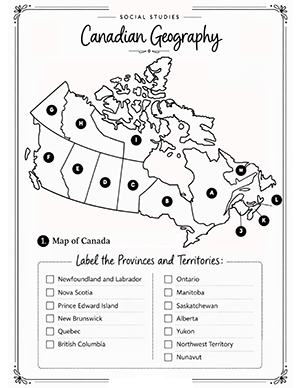
This Canadian Geography worksheet helps students learn the location of
all Canadian provinces and territories through a hands-on map activity.
Students label each province and territory on the map of Canada,
reinforcing their understanding of Canadian geography and spatial
relationships between regions.
Skills practiced:
• Map reading
• Geographic identification
• Spatial awareness
• Canadian geography knowledge
What’s included:
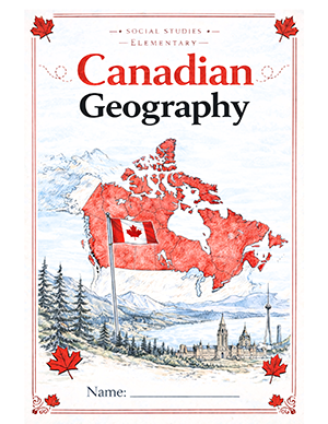
• Cover page
• Canada map labeling worksheet
Format: 2-page printable PDF
Grade range: 2–5